English
 Chinese
 French
 German
 Russian
 Portugese
 Italian
 Japanese

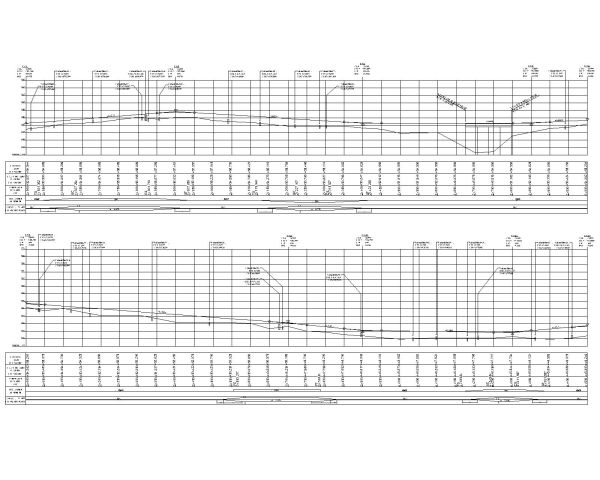
Road Profile with Survey Data (Northing, Easting & Elevations) -2. Architectural & Structural Drawing CAD block in DWG format free download.

Details
Road Profile with Survey Data (Northing, Easting & Elevations) -2. Civil & Structural Drawing CAD block in DWG format free download.
This AutoCAD drawing is fully editable and compatible with AutoCAD 2010 and later versions, as well as all major CAD software packages.
This 2D Civil & structural drawing is ideal for Roads planning applications, building regulation submissions, and construction documentation.
The block is drawn to standard Roads proportions and is ready to insert directly into your project drawings. File details: DWG format, AutoCAD 2010 compatible, fully editable.
Free to download with no registration required.
Model Specifications
| Model # | sku-109075_109075 |
|---|---|
| Animated # | No |
| Materials # | No |
| Rigged # | No |
| Textures # | No |
| UV Mapped # | No |
Review
Escribir Su propia reseña
CAD Models Por Artista